FMJ Facilities Management magazine providing industry-specific intelligence to FM and property professionals

Developments in digital mapping are allowing universities to make buildings smarter and introduce new efficiencies in how they operate. Dr Addy Pope, Higher Education Manager at Esri UK, examines the growth of indoor mapping in higher education
Landscapes, cities and buildings have long been digitally mapped, allowing better decisions to be made about how they are managed. But now mapping is moving inside the buildings themselves. From campuses to offices, airports to hospitals, indoor mapping gives users an interactive, real-time operational view of any indoor space. Challenged to achieve more with less, indoor mapping is now helping university estates and facility managers tackle rising costs, optimise space usage and streamline maintenance tasks.
WHY DO WE NEED INDOOR MAPPING?
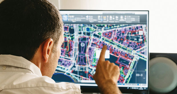
Traditionally, estates managers have relied on CAD drawings (computer-aided design) to depict building interiors or route contractors to where work needs to be done. Yet these static illustrations have limitations and often don’t reflect the current situation. Firstly, it’s hard to share this data, whether it’s analogue drawings or trying to share a digital 3D model with staff who do not have the specialist software required to view it.
Often, CAD images also reflect the design and not the real-world building, which might have been altered since construction, while looking at different floors can mean having to view different drawings in different formats. These factors present a challenge when locating rooms, assets and making the best use of space and it’s difficult to query the data and make it truly operational for day-to-day use.
INDOOR INTELLIGENCE
Primarily used for facility, estates or building management, indoor mapping gives an instant understanding of an indoor environment, capturing and visualising any type of information in a digital interactive map, from floorplans, rooms and spaces, to maintenance, HVAC and IoT sensor data. But it can also visualise people to improve wayfinding and navigation within a university, or help to find important assets more quickly.
Some users are benefitting from bringing their BIM (Building Information Modelling) and CAD data into an indoor mapping environment because it gives a complete situational awareness of an entire site. This means they now have the context of a building’s surrounding environment, plus the macro level interior detail of a building, down to individual floors, rooms and spaces. CAFM (Computer Aided Facilities Management) systems and FM databases can also be linked to indoor mapping, to make building management even more seamless and connected.
Indoor mapping can help optimise space and capacity planning, or the allocation of rooms and desk reservations. It can also monitor the health of a building to ensure staff and students are in a safe and productive environment. Any type of sensor data can feed into an indoor map, giving staff a 3D interactive view into how well a space is performing against carbon emissions or energy consumption targets, or humidity, carbon monoxide or carbon dioxide levels, or other factors such as noise pollution.
WHERE AM I?
To have truly effective location intelligence inside, people also need to know their current location and see relationships between staff and assets that are moving in space and time. Demand is starting to grow for mobile maps that show an individual their precise location inside a building.
When indoor mapping is linked to maintenance systems for example, staff gain improved work order visibility and greater accountability. By showing and sharing the location of problems and directing maintenance teams or contractors to those jobs, via maps on their mobile phones, workflows become more streamlined. Knowing where your workforce is inside a building also improves collaboration, safety and workforce management overall.
This is where IPS or ‘Indoor Positioning System’ technology is starting to prove invaluable as GPS-enabled mobile phones lose their accuracy indoors. IPS systems are needed to provide indoor navigation and wayfinding capabilities, which use a combination of Wi-Fi and Bluetooth beacons to give the accuracy required. In a similar way to GPS outdoors, they place a blue dot on indoor maps to show users where they are and allow real-time indoor navigation, location sharing and tracking.
COMMON OPERATING PICTURE
Trailblazers in this market include the University of Oxford, which recently upgraded its estates management processes with a new indoor mapping system, providing more efficient methods of maintaining asset data and how it charges university departments and other tenants for the space they use. Offering easy access to property and interiors data across 300+ buildings and 35,000 spaces, the new solution combines over 2,000 floorplans into a single interactive map.
Another innovative example can be found at the University of Edinburgh, who are exploring how the concept of indoor mapping can promote active travel across campus, help students find quiet study space, measure green infrastructure and visualise energy consumption.
Just as with outdoor mapping, everything that happens in a building is tied to a location and bringing it all together in one map makes sense. Ultimately, indoor mapping provides a common operating picture for university staff, giving them a better understanding of their estates so they can manage them more efficiently.